
01 Sep 2022
Satellite Imagery
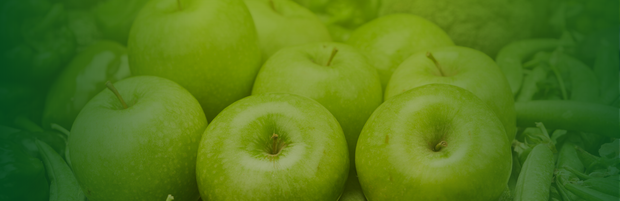
Agrotics leverages state-of-the-art satellite imagery technology to provide farmers with a detailed, real-time view of their fields, transforming the way they monitor crop health and manage their farms. Our satellite imagery solution offers a powerful tool for detecting anomalies, assessing crop conditions, and making data-driven decisions to optimize agricultural practices.
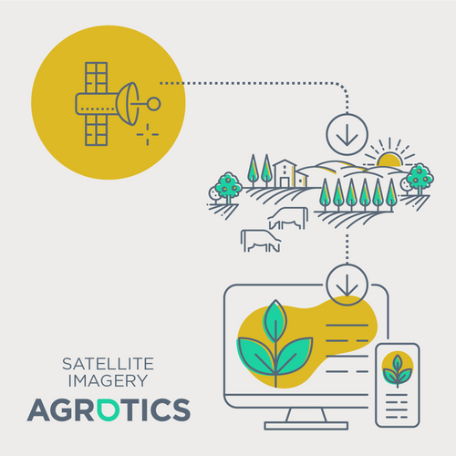
With Agrotics, farmers can access high-resolution images that reveal critical information about their crops. By analyzing vegetation indices such as NDVI (Normalized Difference Vegetation Index), our platform detects early signs of crop stress, disease, and nutrient deficiencies. This enables farmers to take prompt action, reducing the risk of crop loss and improving overall yield.
Our satellite imagery solution goes beyond simple monitoring. It provides a comprehensive overview of the farm's health, allowing farmers to identify patterns and trends over time. Whether it’s monitoring plant growth, detecting water stress, or assessing the impact of weather events, Agrotics offers the insights needed to make informed decisions.
Agrotics’ satellite imagery is seamlessly integrated with other farm management tools on our platform, including IoT sensor data and weather forecasts. This holistic approach ensures that farmers have all the information they need in one place, streamlining decision-making and enhancing the efficiency of their operations.
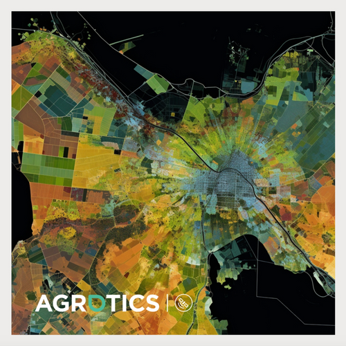
Our user-friendly interface allows farmers to easily interpret the data and apply it to their farming practices. Whether you are managing a small farm or a large agricultural enterprise, Agrotics’ satellite imagery provides the precision and clarity you need to maximize productivity and sustainability.
Experience the future of farming with Agrotics Satellite Imagery where advanced technology meets practical farming solutions, helping you cultivate success in every season.
Categories
- Technology
- AgriTech & FoodTech